
BALI SERVICE
Land Search in Bali
Finding land candidates for villas, resorts, hotels, homes, boarding houses, restaurants or commercial developments with an initial buildability review.
FIELD CONTEXT
See the relevant conditions, process and control points.
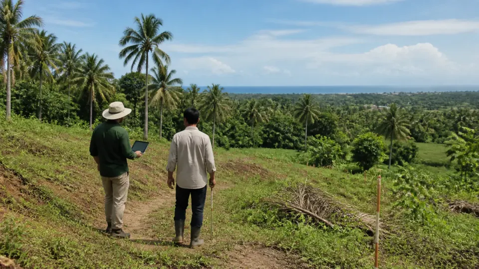
Images clarify the scope of discussion. Final conditions and methods still follow the survey, documents and actual engagement boundaries.
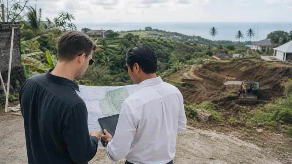
The site is assessed against construction, mobilisation, preliminary-work and property-operation needs.
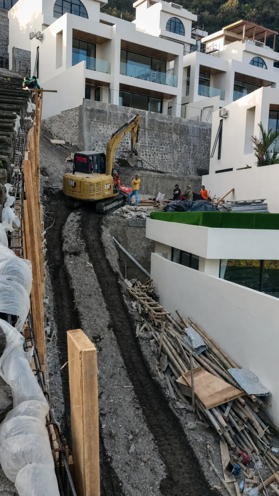
Site documentation shows how access, contour, heavy equipment, materials and surrounding buildings affect the work method.

Candidates are compared by requirements, condition, access and information still requiring verification.
SERVICE FIT
When to choose Land Search in Bali?
Land that looks suitable on a map may not be ready for the intended project. Search should connect location with actual access, shape and boundaries, contour, water flow, utilities, surroundings, preliminary works and records requiring authorised review.
- Owners seeking land for a villa, home, hospitality or business project
- Several areas need comparison before technical surveys
- Access, contour, drainage or utilities may affect suitability
- The owner needs early coordination before legal due diligence
DECISION PURPOSE
Start with the decision that needs to be made.
The main output is a shortlist for deeper review, not a conclusion that land is safe to buy or certain to build on. Each candidate has selection reasons, information limits, risk indicators and next verification needs.
Final scope is set after understanding the location, project stage, documents, involved parties, timeline and reporting needs.
Search by location, size and budget
Initial access, contour, utility and surroundings review
Land-candidate comparison
Coordination of legal review by notaries or relevant professionals
RISKS TO MAP
Items to understand before moving forward.
This is not an automatic conclusion. Each item should be tested against documents, actual conditions and agreed responsibilities.
Access is assessed only from maps or marketing statements
Boundaries, area, rights and land use lack authorised review
Contour, water, ground and preliminary work are omitted from cost comparison
Utilities or service routes are assumed without verification
DELIVERABLES
Land brief
Project purpose, area, location, access, budget, contour and surroundings are defined.
Sourced longlist
Each candidate records its source, general location, basic information and contact status.
Shortlist matrix
Access, shape, contour, utilities, surroundings, preliminary works and gaps are compared.
Further-review list
Notary, survey, legal, geotechnical, environmental or permitting needs are flagged.
ENGAGEMENT FORMAT
Scope and duration follow actual conditions.
Scope may cover initial search, candidate screening, visits or coordination of further surveys. Legal due diligence, official measurement, geotechnical work, design and permitting remain with suitably authorised parties.
The final proposal states visits or stages, reporting format, involved parties, exclusions and conditions that may change timing.
WORKFLOW
From initial clarification to recorded follow-up.
Clarify
Goal, location, stage, documents, parties, schedule and main decision.
Define scope
Methods, visits, sources, limits, deliverables and report frequency.
Review
Collect evidence, compare information, record gaps and escalate material issues.
Follow up
Separate facts, assumptions, recommendations, decisions, owners and closure status.
STARTING INFORMATION
Information that makes the scope more precise.
- Project location or target area and available access notes.
- Objective, current stage, urgent decisions and deadlines.
- Existing documents, photographs, proposals, drawings, schedules or communication.
- Involved parties and the responsibilities currently understood.
RELATED GUIDES
Prepare better questions before a consultation.
Choosing Land for a Villa in Bali
Price is not the only factor. Access, contour, drainage, utilities, surroundings and site-preparation costs can affect project viability.
Construction RiskCommon Bali Villa Construction Problems and How to Control Them
Project problems often grow from unclear scope, incomplete site information, design coordination, change control, concealed-work quality and handover.
FREQUENT QUESTIONS
Questions before requesting the service.
These answers help prepare the initial information. Price, schedule and availability are confirmed against the actual location and scope.
Does this service verify a land certificate?
Available records may be logged and coordinated, but rights, encumbrances, disputes, boundaries, transactions and final legal opinion require a notary, PPAT, legal adviser or authority.
Is a site visit always required?
Attendance is needed where access, contour, water, surroundings, physical boundaries or actual conditions affect the decision. Review depth follows stage and risk.
Is identified land guaranteed to be buildable?
No. Buildability depends on legal, planning, permitting, access, technical, environmental, design and relevant authority decisions.
RELATED SERVICES
Discuss Land Search in Bali for your project location.
Include location, work type, approximate quantity, condition photographs, target timing and daily or package preference so the request can be assessed faster.